


The world of mapping and navigation is about to witness a groundbreaking transformation as The Overture Maps Foundation Meta (formerly Facebook), Microsoft, and Amazon join forces for an ambitious open-source mapping project. This collaborative effort brings together some of the brightest minds in technology to create a comprehensive and inclusive mapping platform that promises to revolutionize how we navigate and interact with the world. .Their goal is to develop interoperable map products, and they have now released their first open map dataset.
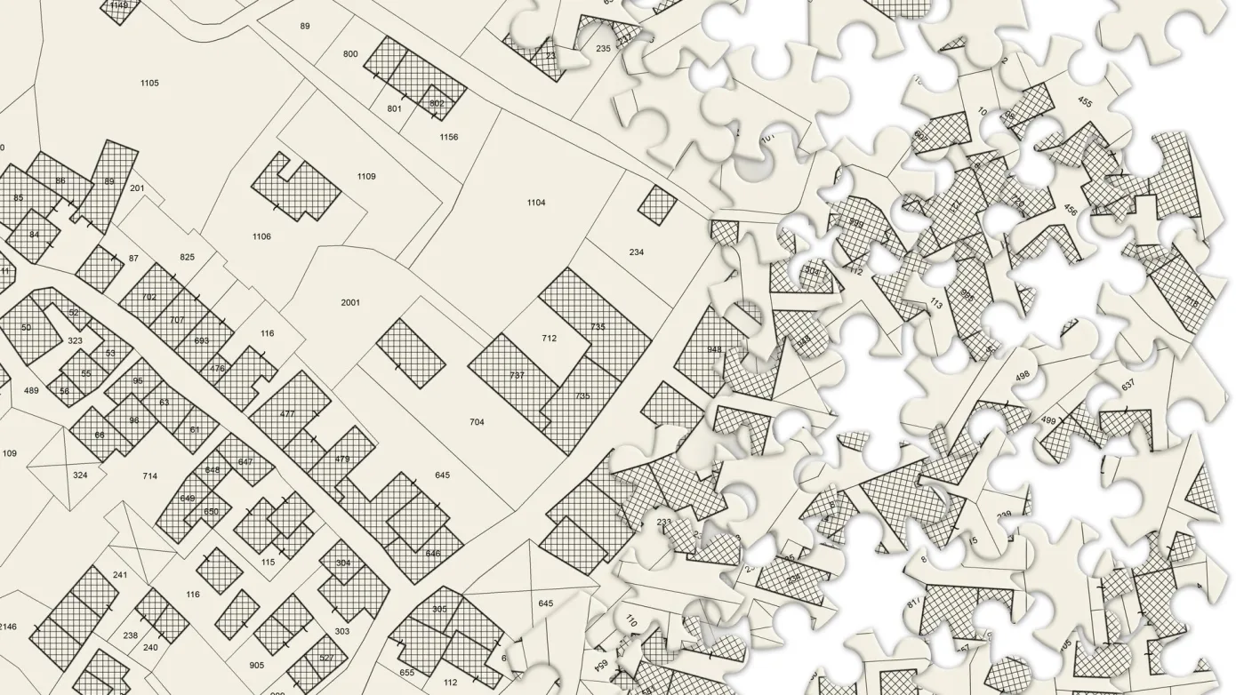
This dataset allows third-party developers to create their own global mapping or navigation products, giving them the opportunity to compete with Google Maps and Apple Maps. The release includes data on over 59 million places of interest, as well as information on buildings, transportation networks, and administrative boundaries. Overture has formatted the data layers in a way that makes it easy for developers to use and integrate into their own mapping apps or navigation services. The dataset is available on Overture’s website.
The Power of Open-Source Mapping
The decision by Meta, Microsoft, and Amazon to collaborate on an open-source mapping project highlights the value and potential of open-source software in driving innovation. Embracing open-source principles fosters transparency, collaboration, and community-driven development. By pooling their expertise and resources, these tech giants aim to develop a mapping platform that is free, accessible, and customizable, empowering developers and users to contribute to its growth and enhancement.
Breaking Down Barriers
Mapping data is critical for a wide range of applications, from navigation and logistics to urban planning and disaster response. However, access to comprehensive mapping data has been a challenge for many developers and organizations due to cost and licensing restrictions. The open-source nature of this joint mapping project has the potential to break down these barriers, democratizing access to mapping data and empowering developers and businesses to build innovative applications that leverage accurate and up-to-date geographical information.
Promoting Innovation and Collaboration
The collaborative nature of this open-source mapping project fosters innovation by encouraging developers to share knowledge, insights, and best practices. This cross-pollination of ideas can lead to the creation of cutting-edge mapping technologies and applications that benefit users worldwide. Moreover, this joint effort signals a commitment to the spirit of collaboration among industry giants, setting a positive example for the tech community as a whole.
Customization and Localization
One of the most exciting aspects of an open-source mapping project is its potential for customization and localization. Unlike proprietary mapping solutions that may not cater to specific regional needs, an open-source platform can be adapted and localized to suit the unique requirements of different countries, cultures, and communities. This versatility ensures that the mapping data and services are relevant and valuable to users across the globe.
Privacy and Data Ownership
In an era where data privacy is of paramount concern, an open-source mapping project allows for increased transparency and accountability. Users can have more confidence in the platform’s commitment to data privacy, as they have the opportunity to review and validate the code powering the mapping technology. Additionally, open-source projects often give users greater control over their data, promoting a sense of ownership and trust.


